Monitoring & Surveillance
LKSIM’s next-generation products and solutions have taken aviation, maritime, and vehicle tracking software solutions in Sri Lanka to the next level. Our systems are capable of interconnecting commercial hardware devices which are GPS enabled for monitoring and surveillance.
Global Standards in Telemetry and Airspace Management
LKSIM's monitoring systems support a range of communication technologies, including AIS (Automatic Identification System), 4G/GSM, and satellite communication. In addition to vehicle and vessel tracking, we also have in place a robust Air Space Management System for Low Altitude Remotely Piloted Aircraft (Drones).
Our solutions align with the latest technologies and developments and adhere to the recommendations in Quad Tracking low altitude airspace management from the NASA – University of Stanford joint task force, Nanyang Technological University, Singapore study group, and ICAO guidelines.
To ensure we adhere to these guidelines, we have designed and developed our intelligent framework, which is highly configurable. Our robust core system is scalable to any project requirement. We are dedicated to custom design and providing our products and solutions to ensure it always goes beyond the customer’s expectations.
LKSIM solutions are the best globally and continue to provide excellent after-sale services and maintenance with no compromise to functionality and performance. Based on the user’s privilege set, real-time stats can be viewed and updated, and there is also the possibility of multiple viewers viewing the scenario.
Highly Configurable
Robust scalable core customized to secure satellite, mobile, and radio-frequency tracking operations.
Explore Our Surveillance & Tracking Products
Next-generation aviation, maritime, vehicle, and family security tracking frameworks.
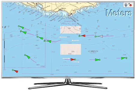
AIS Live Stream
LKSIM’s live AIS streaming service assists in displaying the real-time positions of the vessels on maps with additional information about radion signals from the AIS transponders.
Learn More
Find Me
Real-time location of your family members: With Find me, your family and friends can share their location with you to keep in touch and see where everybody is in real-time.
Learn More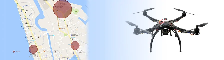
UAS Tracking Solution
Improve the efficiency of aviation operations. Collect real-time drone telemetry, GPS information, and visualizations to maintain data and view target lists.
Learn More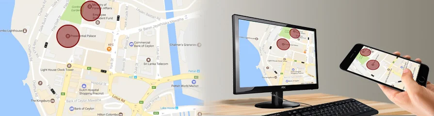
Vehicle Tracking Solution
Take fleet tracking to the next level with customized solutions compatible with existing systems and running over 4G/GSM, AIS, or satellite.
Learn More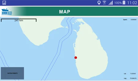
Vessel Tracking Solution
Advanced blended tracking technology and interactive maps offer flexibility and simplicity to fleet owners, managers, and charterers requiring fleet monitoring.
Learn More
Yathra
Vessel tracking and net finder solutions showing various types of vessels on a live map, highly integrated with layers for small-scale fishery industries.
Learn More