Vessel Tracking Solutions
Global satellite ship tracking solutions providing reliable, timely situational awareness and seamless interactive dashboards to empower critical maritime decisions.
Global Satellite Vessel Monitoring
Global satellite ship tracking solutions by LKSIM provide reliable and timely situational awareness to empower accurate world decisions.
Their vessel tracking solutions make it possible to track vessels from your smartphone and tablet devices using the PSP Tracking App for greater working flexibility (available for Android & iOS).
Vessel tracking was introduced in 1998, and since then, LKSIM has continued to deliver state-of-the-art tracking across the globe. As a leader in ship-tracking technology, you can be assured that their solutions provide a complete, reliable, and accurate understanding of any vessel’s surroundings.
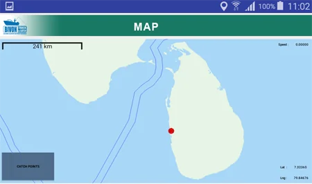
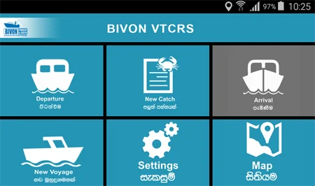
Fishery Improvement Projects (FIP) Sri Lanka
LKSIM has successfully implemented the electronic logbook and vessel tracking solution for FIP.
LKSIM designed and developed an electronic logbook and vessel tracking solution for **Dr. Steven Creech, Director, Fishery Improvement Projects (FIP) Sri Lanka**. Its functionalities enable FIP to address sustainability in fisheries and the challenges that face coastal communities.
Vessel tracking solutions by LKSIM provide a near-real-time overview of the fleet, incorporating security threats, risks, and regulatory zones. These solutions offer complete situational awareness with visibility and actionable intelligence to increase operational efficiency and support compliance.
Vessel Tracking Standard Features
Advanced, blended tracking technology offering absolute precision and flexibility to fleet owners and managers.
Blended Tracking Technology
Positions multiple satellite tracking telemetry sources into a single, seamless position track with patented integration technology.
Interactive Maritime Maps
Zoom, pan, apply real-time meteorological weather layers, specify accurate hazard zones, and use precise distance-measuring tools.
Event Notifications
Automated alerts triggered on entries/exits from key zones (e.g., Exclusive Economic Zones (EEZ) or piracy zones) delivered via email and SMS.
Tamper-Proof Custom Reports
Generate tamper-proof ship movement history reports for legal analysis, insurance arbitration, and environmental conservation audits.
Secure Your Fleet Operations Today
Configure a custom blended satellite monitoring node to maintain complete situational awareness over your vessel fleets.
Request a Technical Demo